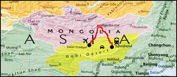
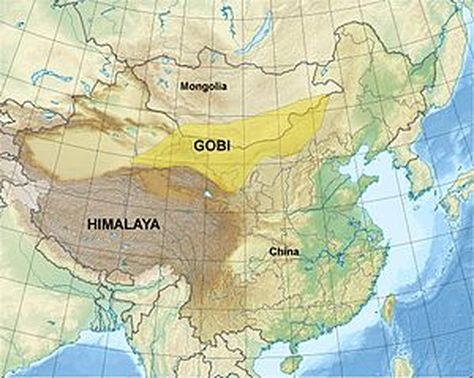
Maps of the Gobi
The Gobi is the largest desert in Asia being around 1.2 million square kilometers in size, and the fifth largest desert in the world. The desert is mainly situated in a high basin with the Altai Mountains and Mongolian steppes to the north and the Tibetan Plateau and North China Plain to the south. The Gobi is a cold desert that can have subarctic winter temperatures but also hot summers. Due to deforestation and overgrazing, it is expanding.
Name Type of Desert Surface Area Location
Antarctic Polar 14.5 million km2 Antarctica
Arctic Polar 14 million km Alaska, Canada, Greenland, Iceland, Norway,
Sweden, Finland, Russia
Sahara Subtropical 9 million km2 Northern Africa
Arabian Subtropical 2.6 million km2² Arabian Peninsula
Gobi Cold 1.2 million km² China and Mongolia


